

GNSS Monitoring SystemGNSS 监测系统
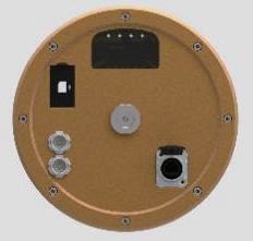
An all-in-one, all-constellation GNSS receiver for millimetre-level 3D surface-displacement monitoring. BeiDou short-message keeps remote sites reporting even where there is no cellular network at all. 一体化全星座 GNSS 接收机,实现毫米级三维地表位移监测。北斗短报文让完全没有公网信号的偏远站点也能持续回传数据。
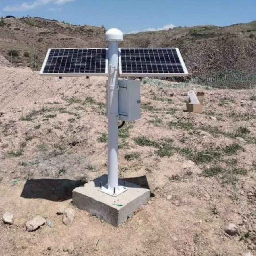
Millimetre-level displacement, anywhere the sky is open 只要看得见天空,就能毫米级测位移
The RIT-BD100 pairs a base station on stable bedrock with rover stations on the deformation body. RTK double-difference carrier-phase processing cancels clock and atmospheric errors, then fixes integer ambiguities to deliver millimetre-level 3D displacement in real time — around the clock, in any weather, with no line of sight required between points. RIT-BD100 由架设在稳定基岩上的基准站与布设在变形体上的监测站配对工作。RTK 载波相位双差分解算抵消钟差与大气误差,固定整周模糊度后实时输出毫米级三维位移——全天候、全天时,测点之间无需通视。
- ✓All-constellation, BDS-3 triple-frequency全星座 · 北斗三号三频
Tracks GPS, GLONASS, Galileo and BDS-3; B1C/B2a/B3I triple-frequency cancels first-order ionospheric error, holding mm-level accuracy on baselines up to 30 km.支持 GPS、GLONASS、Galileo 与北斗三号;B1C/B2a/B3I 三频组合在硬件层面消除电离层一阶项,30 公里基线仍保持毫米级精度。
- ✓BeiDou short-message for no-network sites北斗短报文 · 无公网也能传
Where there is no cellular coverage, monitoring data returns via BeiDou short message — ideal for slopes deep in remote mountains.在没有蜂窝网络覆盖的区域,监测数据可经北斗短报文回传——特别适合偏远山区深处的边坡。
- ✓Low-power all-in-one低功耗一体机
Receiver, antenna and comms in one sealed unit drawing under 1.2 W — a small solar panel keeps it running, plug-and-play.接收机、天线与通信一体化封装,整机功耗低于 1.2W——小型太阳能板即可持续供电,即插即用。
- ✓Kalman + sidereal-day filtering卡尔曼滤波 + 恒星日滤波
The AI layer denoises with Kalman and sidereal-day filtering, suppressing repeating multipath errors and pushing long-term noise to 1–2 mm.智能层采用卡尔曼滤波与恒星日滤波去噪,抑制多路径重复误差,长期监测噪声可压至 1–2 毫米。
RTK Double-Difference: How Millimetres Emerge From SpaceRTK 双差分:毫米级精度从何而来
A base station on stable bedrock and a rover on the monitored structure observe the carrier phase of the same satellites. Differencing across the two receivers and across two satellites cancels the dominant error sources — what remains is pure geometry plus an integer ambiguity that, once fixed, unlocks millimetre-level relative displacement.稳定基岩上的基准站与变形体上的监测站同时观测同一组卫星的载波相位。对两台接收机、两颗卫星做两次差分,主要误差源全部抵消——剩下的只有几何项加整周模糊度,模糊度一经固定,毫米级相对位移随之而来。
Difference Twice两次差分
Differencing the carrier phase between the two receivers and between two satellites cancels receiver clock error, satellite clock error and most of the atmospheric delay — the errors never need to be measured, only cancelled.对载波相位先做接收机间差分、再做卫星间差分,接收机钟差、卫星钟差与大部分大气延迟全部抵消——误差无需测量,直接消去。
Fix the Ambiguity固定模糊度
The remaining unknown is the integer number of carrier wavelengths. The LAMBDA algorithm resolves it to whole numbers within 1–60 s — the "fixed solution" — at which point positioning enters the millimetre regime. Corrections stream from base to rover as standard RTCM 3.x.剩下的未知量是载波整周数。LAMBDA 算法在 1–60 秒内将其固定为整数——即"固定解"——定位由此进入毫米级阶段。差分改正数以标准 RTCM 3.x 协议从基准站实时传至监测站。
Average Down the Noise历元平均压噪声
Short-baseline RTK delivers ±8 mm + 1 ppm horizontal and ±15 mm + 1 ppm vertical; for long-term monitoring, minute-level epoch averaging compresses the noise floor to 1–2 mm.短基线 RTK 精度为水平 ±8mm+1ppm、垂直 ±15mm+1ppm;长期监测中,分钟级历元平均可将噪声压至 1–2mm。
RIT-BD100 Technical SpecificationsRIT-BD100 技术规格
RTCM 3.x standard corrections, four communication options plus BeiDou short message, and a power budget small enough for a single solar panel.RTCM 3.x 标准差分协议、四种通信方式外加北斗短报文,功耗低至单块太阳能板即可满足。
| Parameter参数 | RIT-BD100 |
|---|---|
| Constellations星座 | GPS / GLONASS / Galileo / BDS-3 |
| Static accuracy静态精度 | ±2.5 mm + 0.5 ppm |
| Dynamic accuracy (RTK)动态精度(RTK) | ±8 mm + 1 ppm horizontal · ±15 mm + 1 ppm vertical水平 ±8mm + 1ppm · 垂直 ±15mm + 1ppm |
| Long-term monitoring noise长期监测噪声 | 1–2 mm with epoch averaging历元平均后 1–2mm |
| Correction protocol差分协议 | RTCM 3.x |
| Communication通信方式 | 4G / NB-IoT / LoRa / UHF + BeiDou short message4G / NB-IoT / LoRa / UHF + 北斗短报文 |
| Denoising去噪算法 | Kalman + sidereal-day filtering卡尔曼滤波 + 恒星日滤波 |
| Power supply供电 | DC 12–36 V, solar / mainsDC 12~36V,太阳能 / 市电 |
| Power consumption功耗 | < 1.2 W |
Deployed the Right Way, So the Data Can Be Trusted按规程部署 · 数据才可信
Base Station on Stable Bedrock基准站架设于稳定基岩
The base sits on known, stable ground and is verified by periodic static comparison — if the reference moves, every reading is suspect.基准站建在已知坐标的稳定基岩上,并定期静态比对复核——基准一动,所有数据失真。
Clear 15° Horizon15° 仰角净空
Obstructions are kept below a 15° elevation angle to maximize visible satellites; rigid antenna mounts keep self-vibration out of the data.天线周围障碍物仰角控制在 15° 以内,保证可见星数;天线刚性安装,避免自身振动进入数据。
Dual Links + Quality Flags双链路 + 质量监控
4G primary with UHF backup; the cloud flags any station whose fixed-solution rate drops below 80% for review before issuing an alert.4G 主链路 + UHF 冗余备份;固定解比例低于 80% 的站点,云平台先标记复核,再决定是否预警。
All-In-One Design vs. Imported-Module Receivers一体机 vs. 进口模组方案
Many monitoring receivers on the market are built around third-party OEM modules — which shows up as complex setup, higher power draw and higher cost. The RIT-BD100 takes a different route: a fully in-house technology stack in one sealed unit.市面上许多监测接收机围绕第三方 OEM 模组搭建——带来配置复杂、功耗偏高、成本居高不下等问题。RIT-BD100 走另一条路:全自主技术栈,一体化封装。
| Dimension对比维度 | Rasber RIT-BD100 | Imported-module receivers进口模组方案 |
|---|---|---|
| Core technology核心技术 | Fully in-house technology stack全自主技术栈 | Built around imported OEM modules依赖进口 OEM 模组 |
| Commissioning现场开通 | All-in-one, plug-and-play一体机即插即用 | Complex setup and configuration安装配置复杂 |
| No-network sites无公网场景 | BeiDou short-message fallback北斗短报文回传 | Cellular only — data gaps仅蜂窝网络,存在数据断档 |
| Power draw功耗 | < 1.2 W — small solar panel低于 1.2W,小型太阳能板即可 | Higher draw, larger solar arrays功耗更高,需更大太阳能系统 |
| Total cost综合成本 | High-value system pricing高性价比系统定价 | Varies by module and service scope随模组与服务范围变化 |
Site Installation: Geometry and Links First布站规程:先定几何,再定链路
GNSS monitoring accuracy is decided as much by where and how stations are installed as by the receiver itself. Five field rules from the installation manual.GNSS 监测精度一半取决于接收机,另一半取决于站点选址与安装方式。以下是来自安装手册的五条现场规程。
- 1Plan the baseline length first先规划基线长度
Under 10 km is the RTK comfort zone. At 10–30 km, mid-baseline parameters need adjustment; beyond 30 km, upgrade to PPP or a multi-base-station network.10 公里以内是 RTK 舒适区;10–30 公里需调整中基线参数;超过 30 公里须升级为 PPP 或多基站网络。
- 2Mount the rover rigidly监测站刚性安装
The rover antenna connects rigidly to the monitored foundation — typically a concrete pier or steel frame. A flexible mount lets the antenna's own vibration enter the displacement data.监测站天线须与被测基础刚性连接——典型方式为混凝土墩或钢架。柔性连接会让天线自身振动混入位移数据。
- 3Run dual communication links通信链路双备份
4G as the primary link with UHF as redundant backup. A 4G-only setup in mountainous or below-grade terrain is prone to data loss.4G 作主链路,UHF 作冗余备份。山区或地下场景仅靠 4G 容易丢数据。
- 4Size the power with margin供电留足裕度
Solar systems are sized for 7 days of overcast plus a 30% safety reserve. With mains power, plan for outages — the often-overlooked failure mode.太阳能系统按"7 天阴雨 + 30% 安全冗余"配置;采用市电时须制定断电预案——这是最常被忽视的故障模式。
- 5Inspect link quality weekly链路质量每周巡检
4G signal quality at urban fringes degrades over time. A weekly link-quality check keeps RTK from silently degrading toward single-point positioning.城市边缘的 4G 信号会随时间退化。每周一次链路质量巡检,避免 RTK 悄然退化为单点定位。
Where the RIT-BD100 Earns Its Keep典型应用场景
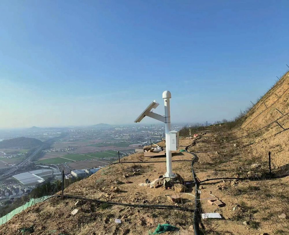
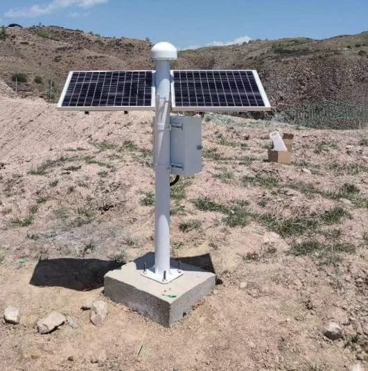
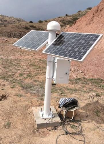
Continuous, unattended surface-displacement monitoring — from unstaffed mountain slopes to dam crests and long-span bridges.连续、无人值守的地表位移监测——从无人驻守的山区边坡,到坝顶与大跨度桥梁。
Slopes & Landslides in Remote Mountains偏远山区边坡与滑坡
Solar power plus BeiDou short-message suit unattended sites far beyond cellular coverage; pairs with dual-wheel geohazard in-place inclinometers and water level gauges as a standardized early-warning kit.太阳能供电 + 北斗短报文,适合远离公网的无人值守站点;与双轮地灾固定式测斜仪、水位计组合,构成标准化地灾预警方案。
Dam Crest Deformation大坝坝顶变形
Continuous 3D displacement of the dam crest and abutments; sidereal-day filtering separates true movement from repeating multipath, supporting long-term trend analysis.连续监测坝顶与坝肩三维位移;恒星日滤波剔除多路径重复误差,支撑长期趋势分析。
Bridge Towers & Main Girders桥塔与主梁
Tracks tower tilt and girder deformation through wind, temperature and traffic loading — all-weather, day and night, with no line of sight required.全天候跟踪风荷载、温度与车流作用下的桥塔倾斜与主梁变形——昼夜不间断,测点无需通视。
Frequently Asked Questions常见问题
Our site has no cellular network at all. Can it still report?现场完全没有公网信号,数据还能回传吗?
How long can the baseline between base and rover be?基准站与监测站之间的基线能有多长?
What is a "fixed solution", and why does its rate matter?什么是"固定解"?为什么要盯固定解比例?
The station sees few satellites or the fixed rate is low. What do I check?可见卫星少或固定解比例低,先查什么?
How long can a station run on solar power alone?仅靠太阳能供电能撑多久?
From Order to Long-Term O&M从下单到长期运维
Every unit ships with factory QC reports, and accuracy is traceable through third-party metrology institute calibration.每台设备随附出厂质检报告,精度可通过第三方计量机构校准溯源。
Standard products ship from stock; fast response on customization.标准产品现货发出,定制需求快速响应。
On-site installation guidance and partner enablement training.现场安装指导与合作伙伴赋能培训。
Backed by full-lifecycle technical service across four phases.四阶段全生命周期技术服务保障。
Cloud-hosted O&M, remote device-status monitoring and periodic reports.云端托管运维、设备状态远程监控与定期报告。
Works Best as Part of a System组合成系统,监测更完整
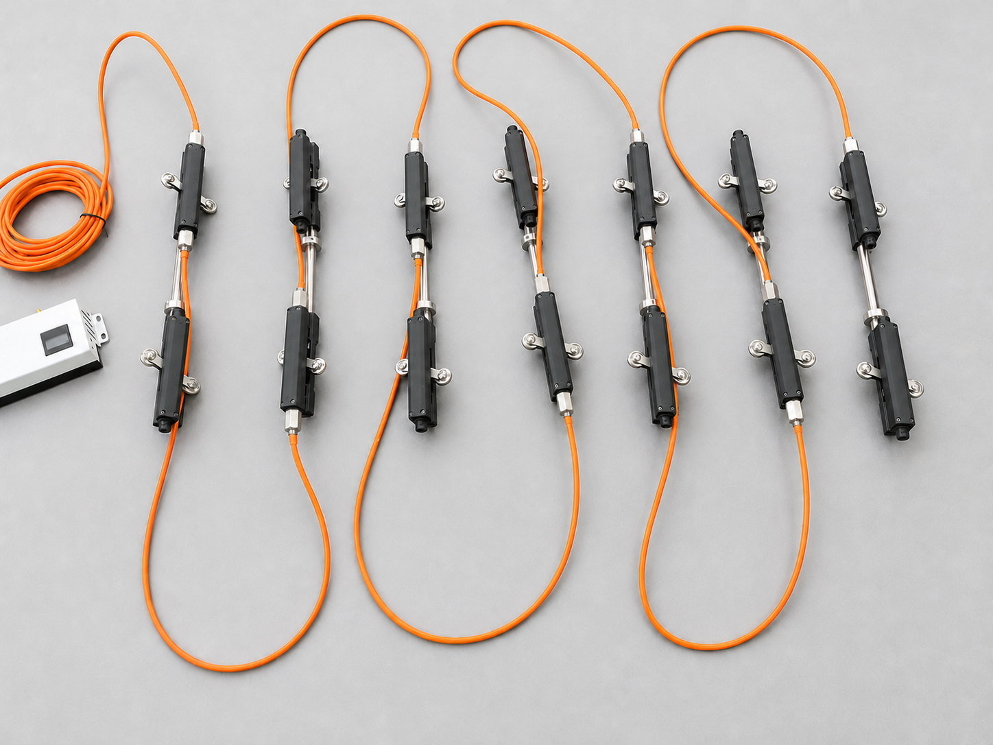
Dual-Wheel Geohazard In-Place Inclinometer双轮地灾固定式测斜仪
The slope / landslide combination: GNSS measures surface movement, dual-wheel geohazard strings locate the deep shear zone, and water-level gauges track groundwater.边坡 / 滑坡监测组合:GNSS 测地表位移,双轮地灾固定式测斜仪定位深部滑动带,水位计监测地下水。
Learn more了解详情 →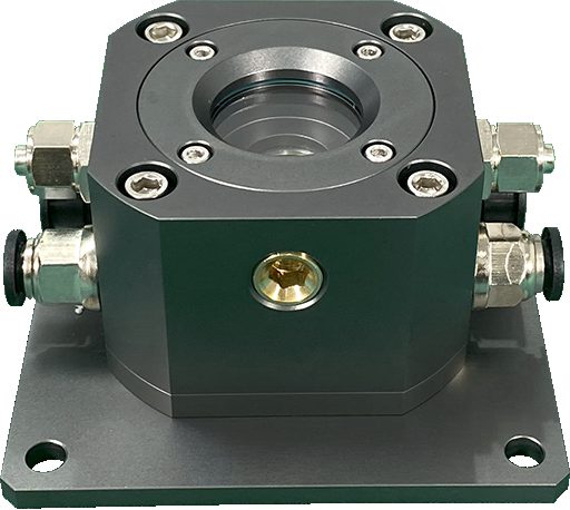
Settlement Monitoring沉降监测
The bridge combination: GNSS pairs with hydrostatic level gauges and weather stations for full-lifecycle structural health monitoring.桥梁监测组合:GNSS 与静力水准仪、气象站配合,实现全生命周期结构健康监测。
Learn more了解详情 →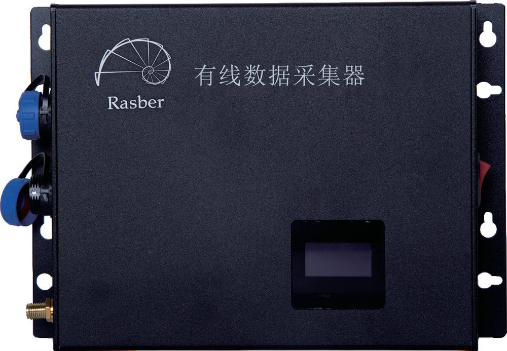
DAQ & Cloud Platform采集与云平台
GNSS displacement series stream into the Rasber Monitoring Cloud alongside every other sensor family — one platform for curves, alerts and reports.GNSS 位移序列与其他传感器系列一同汇入瑞茨柏监测云——同一平台完成曲线、预警与报表。
Learn more了解详情 →Need specs, pricing or a station layout?需要详细规格、报价或布站方案?
Our engineers respond with datasheets, baseline-length guidance and a base-plus-rover layout matched to your site's terrain and network coverage.我们的工程师将提供数据手册、基线长度建议,并根据现场地形与网络覆盖情况定制基准站 + 监测站布设方案。